
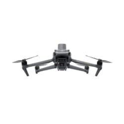

Effective aerial surveying requires the ability to see the invisible. That’s why the Mavic 3 Multispectral has two modes of viewing. It combines an RGB camera with a multispectral camera to scan and analyze crop growth with complete clarity. Agricultural production management requires precision and data, and the Mavic 3M delivers both.
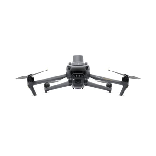
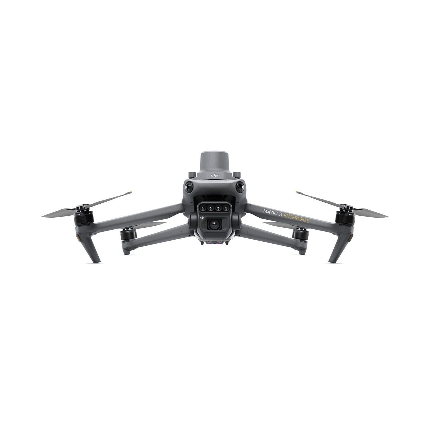
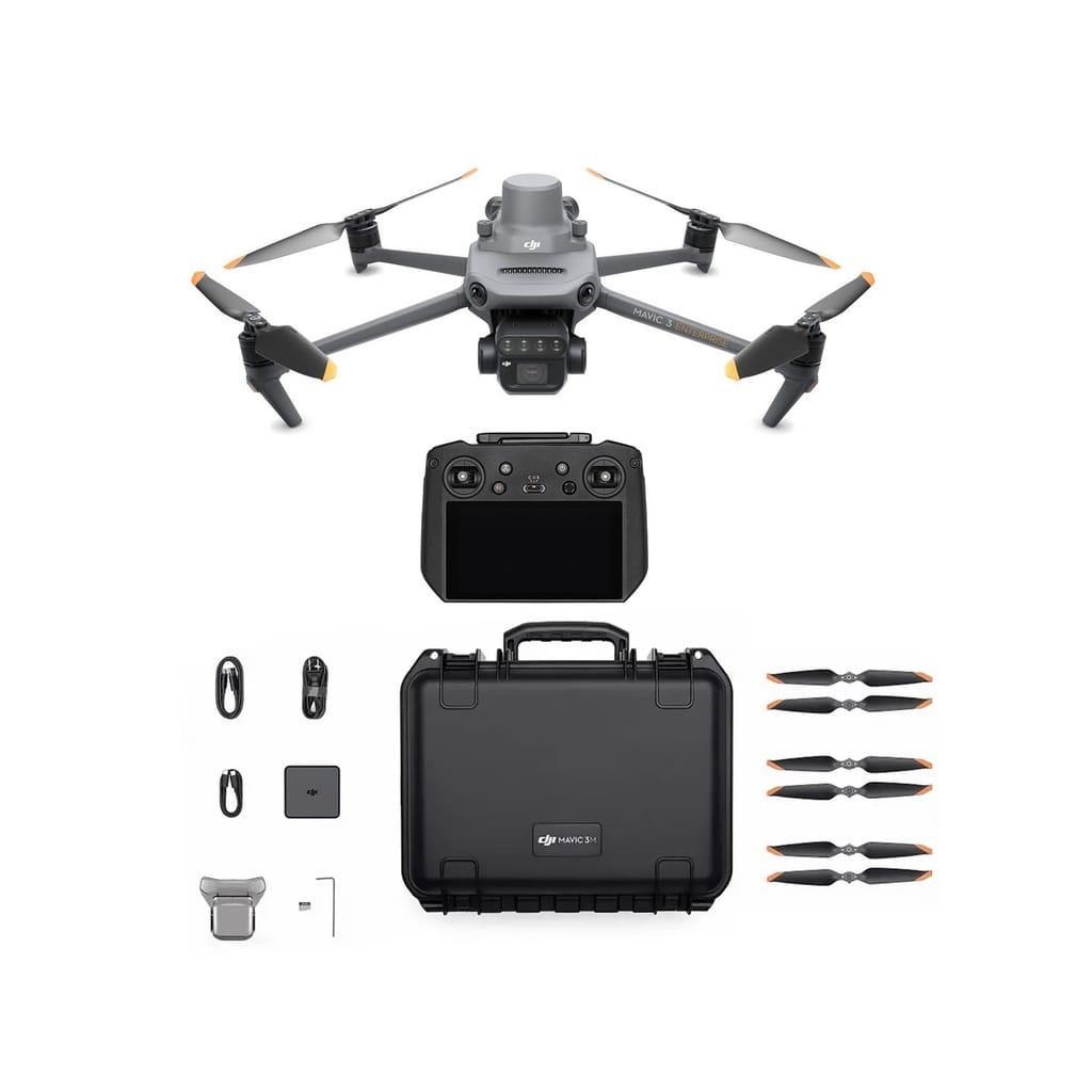
- Compact and portable. Foldable for easy storage.
- Multispectral camera: 4 x 5MP cameras (G/R/RE/NIR)
- RGB camera: 20MP, 4/3 CMOS, mechanical shutter
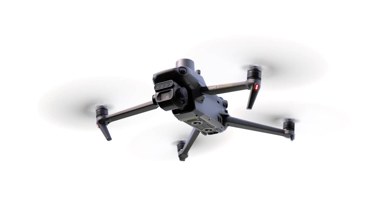
- Safe and stable: Omnidirectional obstacle avoidance, 15 km transmission distance
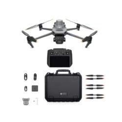
- RTK positioning, centimeter-level accuracy, microsecond-level time synchronization
- Efficient aerial surveying up to 200 hectares per flight with 43 minutes of cruise time autonomy.
The integrated sunlight sensor captures solar radiation and records it in an image file, enabling light compensation of image data during 2D reconstruction. This generates more accurate NDVI results, as well as greater accuracy and consistency of data acquired over time.
Mavic 3M with RTK module for centimeter-level positioning. Flight control, camera, and RTK module are synchronized in microseconds to accurately capture the center of image location for each camera. This allows the Mavic 3M to perform high-precision aerial surveying without using ground control points.
O3 transmission integrates two transmission signals and four reception signals to enable ultra-long transmission distances of 15 km.